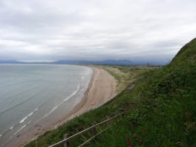
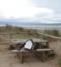
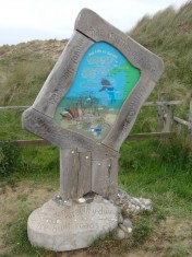
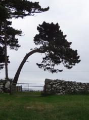
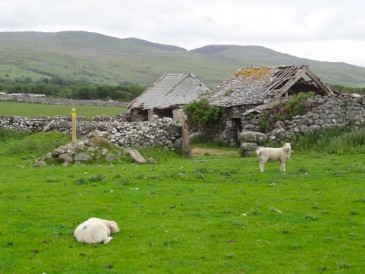
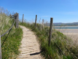
 This was a very straightforward walking day along cliff paths, what I envisaged the Coast Path would be like. The Ceredigion Coast Path opened in 2008, well before the Wales Coast Path was conceived, and has been very well planned, laid out and signposted. I’m sure the Pembrokeshire Coast Path will be equally good, so I am expecting, not necessarily the very last time I will get lost en route, but certainly a long respite from that "will it be there or won’t it" feeling about the path that was so dispiriting on earlier stretches.
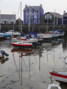
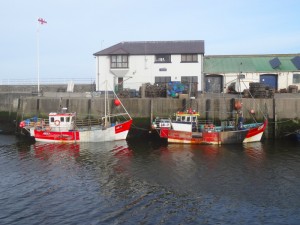
The path goes over the lovely wooden arch footbridge across the river and upper harbour, then skirts the harbour along the back of brightly painted cottages and in front of the classic Georgian Terrace, until it hits the sea at the Harbourmaster’s office and Yacht Club, very much a low-key and working building, no Pimms, just a small beach café.
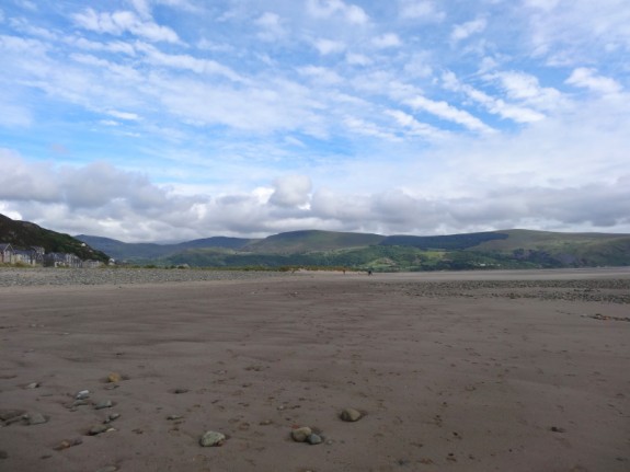
Then along a pebbly beach and up the first climb of the day, to the top of the cliff where the undulating coast opens up ahead, New Quay, where I was looking forward to a breakfast at a café on the quayside, clearly ahead.
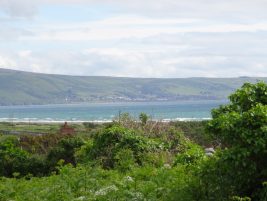
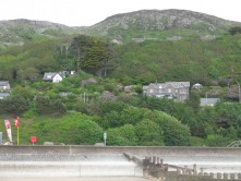
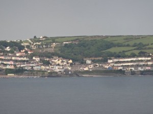 From a distance, it looks like someone has pushed a thumb down in the middle of New Quay; it is nestled in the north side of a headland, and the rows of houses all slope down at angles towards the harbour in the centre, as if they had once been parallel streets running along the hillside and then gradually slid or been tugged down rather like the ruffles in an evening gown.
However, while looking close across the sea, it was still six hours distant.
The path leads over several streams, each with a small wooden bridge (courtesy Ceredigion Coast Path), and often the sound or sight of the waters tumbling down the cliff side to the sea below.
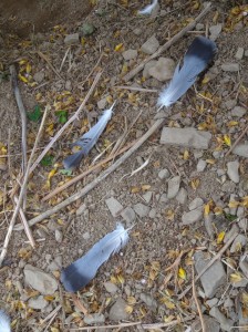
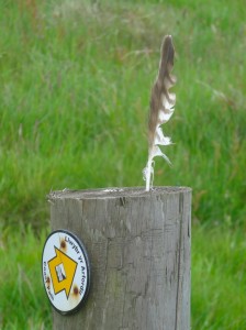
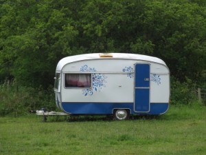
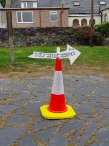
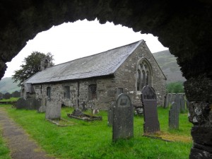
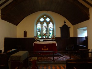
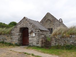
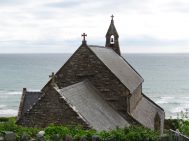
Approaching New Quay there is a very small inland detour to go round a caravan site, before cutting back down a wooded path to the beach. You pass the footpath leading to St Ina’s Church. As it was a nearly 20-mile day and breakfast at New Quay beckoned, I did not visit, but did see a notice asking visitors to go to the church and paint a bird. The pictures are then going to be curated by a local artist, Philippa Sibert, into an exhibition for the Ceredigion Art Trail in August.
 At low water you can then walk all the way across the beach to New Quay, but as the tide was half in I needed to take the steps up to the road. I asked some local dog walkers on the beach, they told me about the two sets of steps to avoid going through the caravan site, but I mistook what they said and took the first sets of steps up (which looks as though it is skirting round the site), rather than the second set (which looks as if it is going into the heart of the site). In fact, it is the other way round! However, after seeking directions from one of the caravan owners, I managed to find my way out of the labyrinthine site.
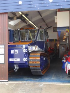
Following the road down into New Quay there is a small community wood where the path I should have taken joins the road, and then an alley cuts down towards the sea. There are various steps that then lead down to the sea itself, I took one that runs beside the lifeboat station, but this and others might not connect at high tide, so the formal path stays higher.
And then breakfast at the Old Watch House Restaurant on the quay.
 I recall visiting New Quay twice with the girls. Esther loved dolphins and on our first visit to New Quay we walked up the cliff road and then stood for half an hour watching them frolic in the bay. It was a hot day and, when the dolphins eventually moved away, we had ice cream on the quay. However, the other time was colder and with no immediate sign of activity, we retired to this same café to watch through its windows looking over the sea.
I spotted no dolphins, but had a good ‘big breakfast’ to set me up for the day – no Snickers this day.
In the tourist office the girl serving had walked the Ceredigion Coast Path and also the Pembrokeshire Coast Path. She warned me that while well signposted, she had occasionally become confused in Pembroke by the numerous circular walks based around the Coast Path. Remembering the time when I accidentally followed such a circular walk on Offa’s Dyke, went a mile off track downhill, and then had to climb back up again, I make a mental note to be more vigilant in Pembroke.
The cliff road south out of New Quay leads only to the fish factory, out of sight beyond the headland. The houses that line it, overlooking the sea and town, each front onto the small road, and then have a garden opposite the road on the top of the cliff. Some have been paved as parking, but some have decking, half glazed panels, deck chairs and barbecues, to enjoy the views. At the very last house there is a substantial barbecue and in a sort of half hut, sheltered on one side, but on the other open, looking out along the road and towards the town, a couple eating breakfast. Patrick and Brenda tell me that they live part of the year here and part in their other home in the borders. When here they clearly make the most of the morning sun and sea views.
Out of New Quay, the path cuts up a quarry behind the fish factory. Mostly it is climbing on broken stone, but partway up where smooth rock breaks to the surface, a short run of four steps have been cut out of the rock. Then on up, more steps between the different layers of streets until, a last flight of earthy steps takes you to the cliff tops.
I meet a couple on their way to Bird Rock (as it says, a rock that the birds nest on), about a mile along the clifftop, where you can watch the birds from a clifftop observation hut. They ask about flatter routes back into New Quay and we look out alternatives on the map. The lady is overweight but of the healthy and certainly up-for-a-walk kind, however the steps are a little much for them both. She is precisely the sort of person that the government would like to encourage outdoors. Clearly the Coast Path in this area will, by the nature of the ground, be challenging, and every route out of New Quay is quite steep, but there is certainly a need for routes and labelling of routes that allows the not so intrepid to walk with confidence.
The way then is relaxed until it drops into Cwmtydu where a small river, the Afon Fynnon Ddewi, joins the sea at a small sandy beach with a car park and lime kiln. I knew it was common to find lime kilns near the sea, but hadn’t realised that this was because the lime was landed on the beach and then burned there to make fertiliser to take further inland.
There is the Terrace Café, which sells ice creams, cakes and teas. Even though I had not long had breakfast, it seemed churlish to pass by. There was a closed restaurant and bar next door, which everyone seems to remember from when it sold carpets before it was a bar. Evidently it needs complete gutting, as there is asbestos throughout its construction.
This is exactly the kind of small teashop that I had expected to see along the coast. I asked about regulations and the owner said this hadn’t been a problem. There is a picture of her and her husband on the wall, somewhat younger than now, and in chef’s clothes. I ask her husband and he says that they have worked together in the catering industry virtually all their lives. So, maybe, used to the rules and regulations governing larger premises, they do not find those of a small place as difficult as a novice would.
After Cmtydu the Coast Path has two alternative routes, one inland and one along the cliffs. A notice at the branch (and yes, compared to parts of the route earlier they sign BOTH alternatives) shows a map and warns that the four and half miles to Llangrannog are steep, exposed and deeply cut into cliffs, with few escape routes should the going get tough. Rosie had mentioned this part to me.
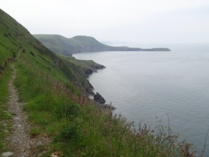 I decide to risk the steep and exposed route, but it is actually not at all scary. Well, let me retract a little. In rock climbing, they rate routes independently by (a) the technical difficulty of the climb, and (b) the danger involved – how large a matchbox you need to scrape the remains into should you fall.
The section of the path cut into the cliffs is never narrower than four or five feet, with a rocky path to walk on and about two feet of grass before the edge. However, the land below slopes at something between 75 and 80 degrees before it goes over vertical rocky cliffs. In some places this is gorse and bramble covered, so a fall would leave you prickled and cut, but would be broken well before you were in serious danger. However, there is a short stretch with just a short, steep, grassy slope before the cliff and so only the possibility of grasping at grass stalks before a hundred feet or two to rocks below.
You would need to work really hard to trip so badly to take you over the cliff, but if you did, you would be unlikely to survive. I wonder if Arry slowed as she ran this part.
So difficulty score low, but danger score very high.
 The path eases as it passes the Urdd centre. Urdd Gobaith Cymru is the Welsh youth society for promoting Welsh language and culture and I went to a camp here when I was eleven. In those days we slept in tents, but of a superior permanent camp variety with bunks inside. Now there are posh residential blocks, a dry ski slope and kart track. As I pass by, a group of children are on a green artificial slope beside the ski slope dampened by water jets, where they are climbing up and then tobogganing down, screaming all the way, on what appear to be giant, round, plastic tea-trays.
 Just before Llangrannog is a long headland jutting out to sea, clearly good fishing grounds from the cluster around it. At the land-end of this is a large rounded and flat-topped hill, which was both a Neolithic and Bronze Age hill fort. Together, the rounded flat-topped hill and long thin headland are also known as Pen y Badell, the ‘upturned saucepan’
Dropping down the last path into Llangrannog I meet two ladies sitting on a bench.
"As you are travelling," one of the women asks me, "have you met many people who will not use technology at all?"
"A few", I reply.
"Well, I’m thinking of one woman in my village," she continues. The woman in question is a bastion of the community, the sort of person you need to have supporting you if you want things done, and who gets things done. Only she will not have computers in the village hall.
"She says that like slow food, the old ways are coming back, and it will be the same with the internet," I am told, "She doesn’t even have duvets in the house, just old blankets."
I have some sympathy for the technophobe lady, and guess that being the person who is the fixer, the prime mover, the one who is always in charge, she is nervous of things that she doesn’t understand and might make her look less capable. I wonder how to address someone like this, to make the technology less frightening, as it is these core people who make things happen.
The lady I’m talking to, although, I’d guess, in her later sixties (she described the techophobe as "she’s 65, still young"), has no such worries and we talked about mobile phones.
"Orange is best here," she said, and as if to prove it her phone rang twice during the short conversation. "My daughter’s phone is different, works in Cardiff, but not here, when she is here I have to email her, that works but not voice."
Looking at her own superior Orange phone I ask, "do you have 3G here?"
"Oh no," she answers, "only in Cardiff."
A few yards further on I meet another couple walking up and chat to the man until he too is interrupted by his telephone ringing.
By this time, it is four o’clock, so no longer time for a drink at Llangrannog. I add it to my ‘must visit again’ list and press on.
The portion of Offa’s Dyke Path north of Knighton is known as ‘The Switchback‘, but I can think of no better title for the Coast Path between Llangrannog and Penbryn. The path keeps dropping steeply down one little valley only to climb just as steeply up the next. The last climb is up a grassy slope and at the top a couple are sitting with their dog between them.
"A bit bumpy", I say.
"They add those specially for the Tourist," the man replies, what I at first took to be his cigarette smoking between his fingers.
Now I don’t know my smoking substances, but the ‘cigarette’ was like none I’d seen before. It started the width of a normal cigarette and then had a wider stubby cylindrical section, the size of a party popper, before shrinking once more to normal cigarette dimensions.
Is this some sort of device for filtering out some of the noxious elements in the cigarette smoke? Or was he smoking something that was not tobacco?
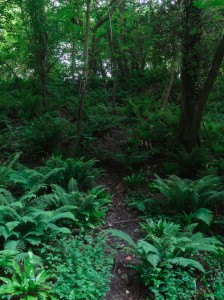 The path at Penbryn cuts inland slightly in order to cut a better path back up the hill opposite (the switchback does not stop entirely at Penbryn!). The small river that has cut the valley is set in a wood that feels like as if it is from the set of a Tarzan movie: huge ferns carpet the floor of a damp valley deeply shaded by moss-drenched trees and surrounded by birdsong. The path cuts steeply up the Amazonian hillside and eventually breaks out into the cliffside; I emerge blinking like coming out through the cinema doors and finding it is still daylight outside.
From then on it is just a short and relatively flat cliff walk until the path drops into Tresaith, with a small sandy beach and then back up to low cliffs with caravan parks behind.
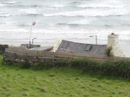
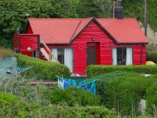
 This last stretch of cliff between Tresaith and Aberporth is the land of the forgotten railway, with at least three converted railway carriages along the way. My favourite is the least converted one, in colours of dull cream and muddy red-brown.
And into Aberporth, where we once looked at houses before our move to Tiree. It seemed a lovely place then, with small sandy beaches and just a homely air. Today I went to the Ship Inn, to enquire about buses and take a pint while I waited. One of the regulars noticed my banner and when he read the leaflet said "well, if you want to know stories, you’ll need to stay longer". Sadly the last bus was in fifteen minutes, but it was one of those places where you feel instantly welcome.

