I would like to say it was an exciting day, that I had found fresh insights amongst the mundane, and in fact there are some lovely parts, such as the dunes at Point of Ayr, but the reality was hard going. My feet, which seemed to grow stronger as I walked Offa’s Dyke, which took each new hill with fresh vigour, fail against the monotonous flatness of the Dee and North Wales coast. My ankles, the tendons across the front that lift the toe-end of your feet, were painful at the beginning of the day, screamed by the end and still hobbling-sore the morning after. I had thought this would be an easy stretch after Offa’s Dyke, where I would make up time and distance, and maybe it is just the fatigue of daily walking catching up with me, especially the long day from Ruthin to the coast.
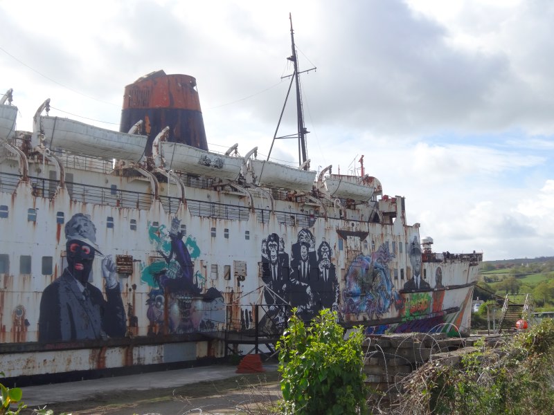
Duke of Lancaster
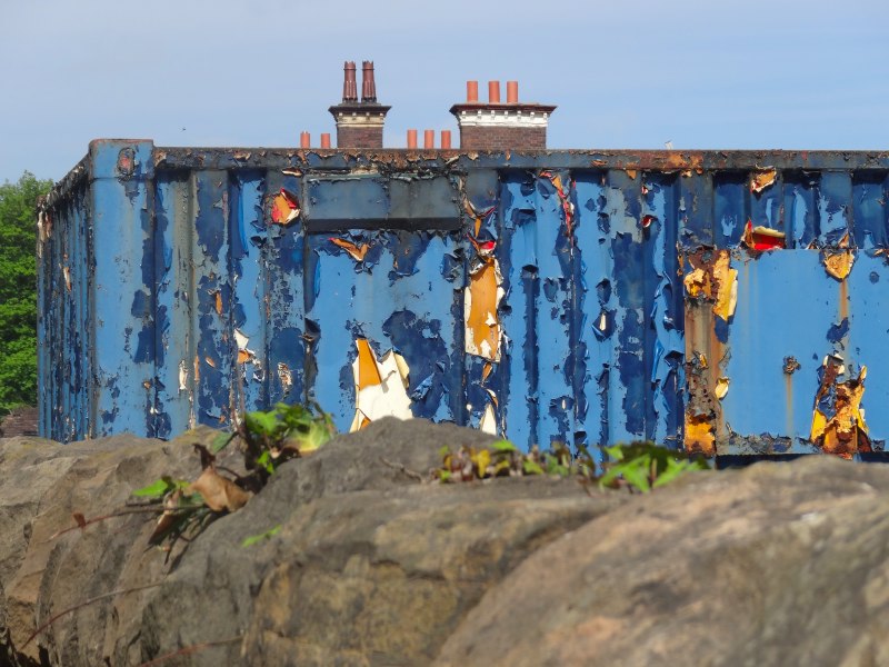
The day started where the last day ended, at the Duke of Lancaster at the far east end of Mostyn. Whereas yesterday had been the port side of the Duke, this morning it was the starboard side. Instead of the blue Transformer breaking out of the hull, this side was more a canvas of images, several with strong political overtones, on money and wealth. It is worth visiting on its own. Watch out for the blue and white ‘Funship Market‘ and the pub opposite, another ‘Old Tavern Inn‘, is open for food, but you have to go round the back, to the car park side, to get in, all the front doors are locked.
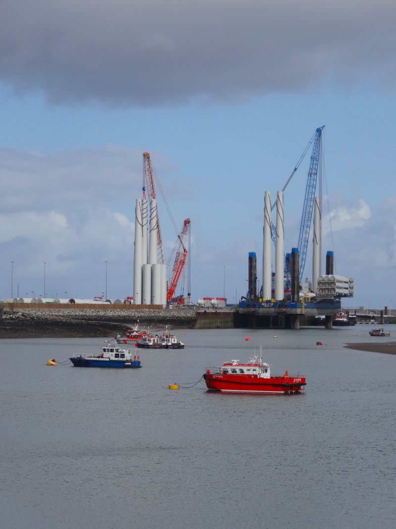
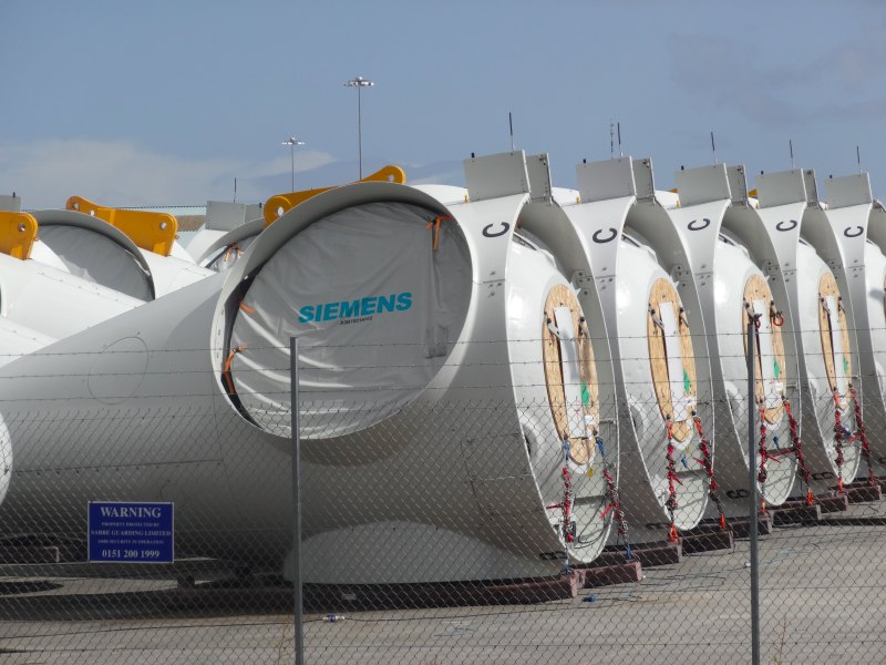
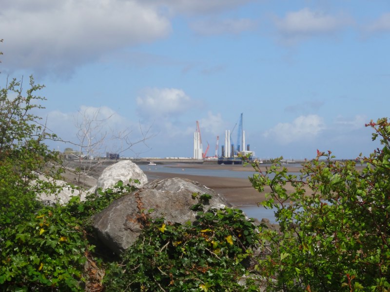 From there, the path follows the coast with mudflat to the right and ahead Mostyn Dock, where cranes are constructing wind turbine towers. From the train I have seen the turbine parts lying in endless lines in a vast fenced area on the foreshore, but on the dock itself are the towering cranes, one blue, one orange, to assemble the turbine sections, I assume to take out to sea and ‘drop’ into place. In the offshore wind farms in this area (small and far out to sea compared with the one planned for Tiree), the turbines are supported on piles driven deep into the sand and mud that flows for miles out to sea from the Dee and the Mersey.
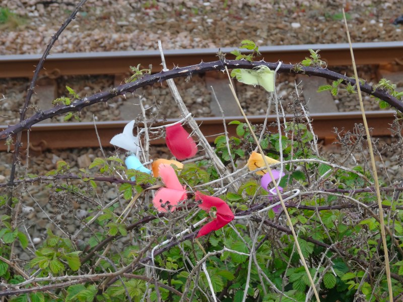
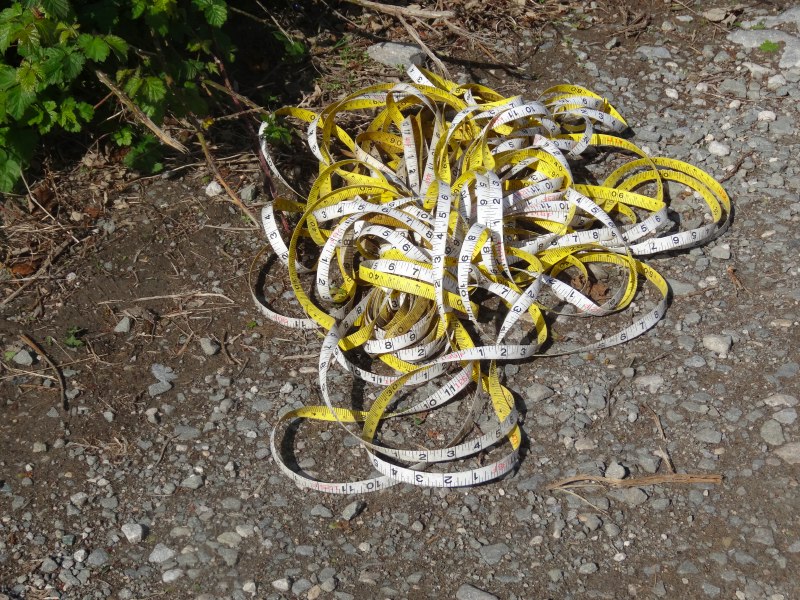
On this piece of path the two points of excitement are a discarded tape measure and a Coast Path sign, shot through as air gun practice. I hope the marksman keeps a lookout for walkers, or rather I hope the marksman keeps a lookout and seeks to avoid hitting walkers.
In a tiny inlet before the harbour itself, maybe even the original Mostyn harbour, lie small fishing boats, in blue and orange to match the cranes behind, and then on the path broken plastic, also in blue and orange, as if the landscape had been painted in a limited palette or the Mostyn football strip.
The path comes away from the foreshore where Mostyn Dock blocks the way and follows the roadside, sometimes along the pavement, sometimes a few yards away. There is an alternative path that takes you a sightly longer, and I assume more scenic route through old Rhewl Mostyn village to Ffynnongroyw, but I stick to the road route as I want to see the turbine field close to.
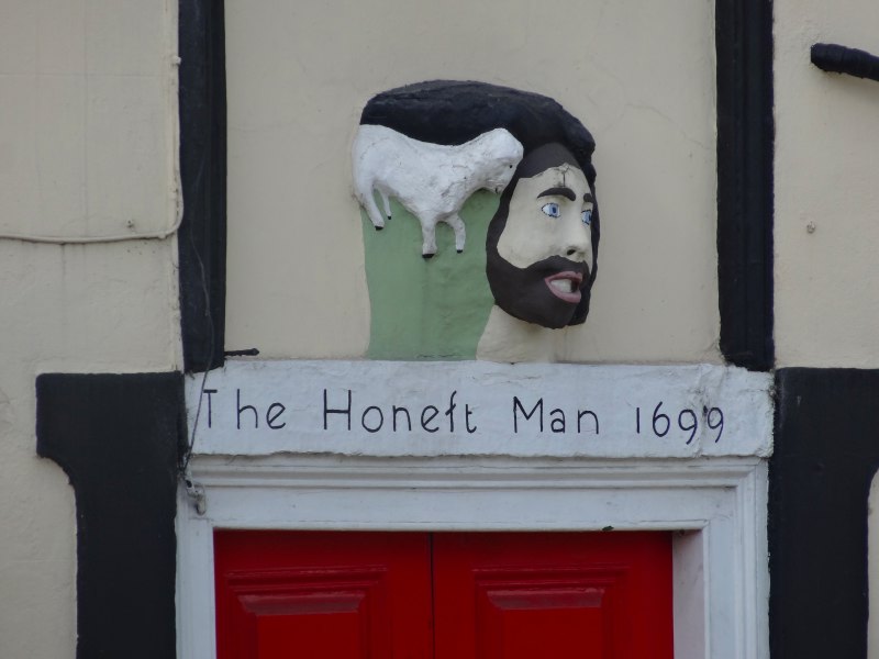
Just where the path joins the road is a pub, The Llaety Arms (originally called in 1699 ‘The Honest Man‘), which is, miraculously, open, but I decide to press on as I assume there will be beach caf&ecute;s later. However, only a short while on, opposite Mostyn Dock, I find Anwen’s Grill Bar – now a pub, café or Egon Ronay restaurant I can pass by, but there is something about a road-side van, seeing the food cooked freshly in front of you, it is the ultimate cuisine.
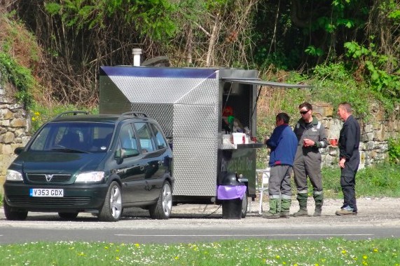 As I eat one of Anwen‘s breakfast baps (sausage, bacon, egg and black pudding) and drink my tea, I sit with some electricity board workers about to replace wiring where copper cabling has been stolen, a growing problem across the country in recent years. One of them chats a little about the walk, and the others talk about mountain biking along some of the trails at Llandegla and downhill tracks amongst the flint hills to the west.
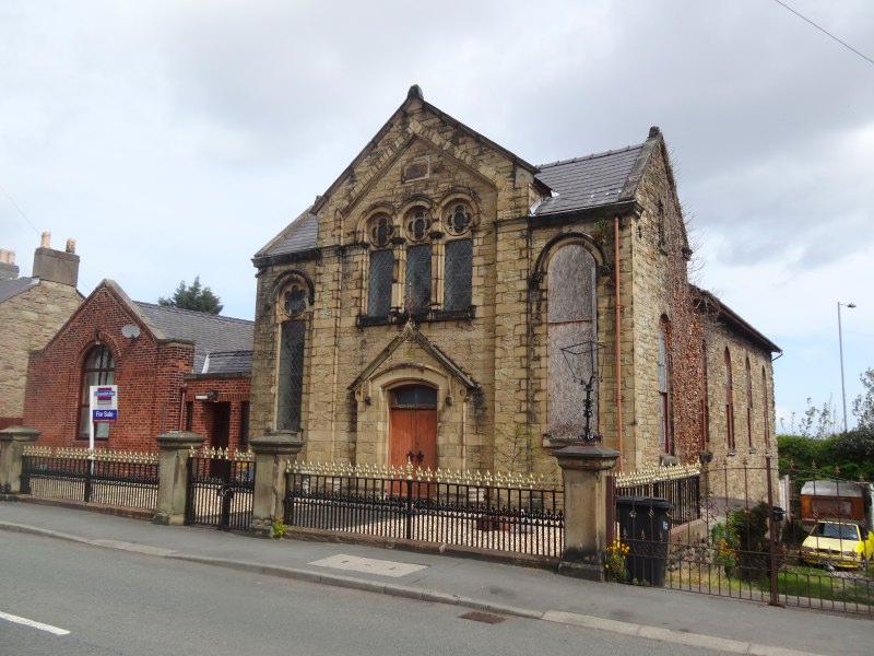
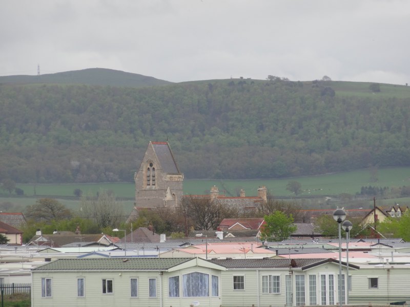
After Mostyn docks, the road leads to Ffynnongroyw, the ‘clear well’, where the well used to serve the village until the 1930s and was only shut off completely in 1980. I pass one Anglican church and at least four non-conformist churches, all closed and residential or for sale. I note that one of them had an annexe, clearly built relatively recently, probably the last 20 years. I think of church repair and re-building discussions at my home in Tiree, and think again that the only church building that matters is the body of people, without them the remains are not holy, but simply empty.
Beyond Ffynnongroyw, the next high point is the gas terminal at Talacre. The path takes a v-shaped path around a piece of empty ex-industrial land that I assume the Flintshire path officer failed to negotiate access to, although the wording of signs suggest that this is work in progress, so maybe one day it will take a more direct route.
Although this part of the coast is not replete with obvious beauty spots, Flintshire Council have worked hard installing well-designed cut metal information boards, exposing some of the long industrial and natural heritage of the area.
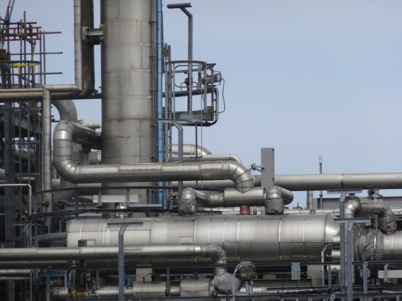

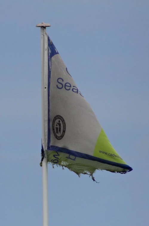
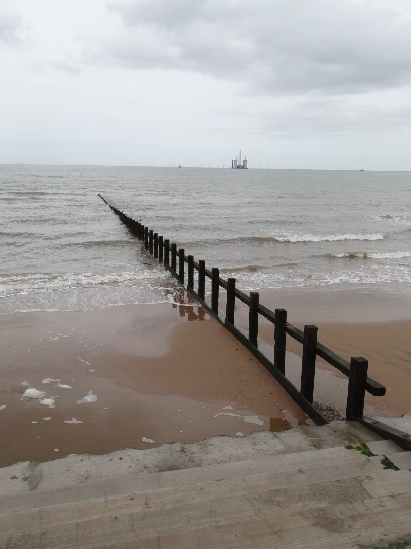
Rounding the hydra-like steel pipework of the gas terminal and set well away from the main complex, a tall tower with the distant roar of a pressure relief flame, the coast stretches due north through Point of Ayr nature reserve, past my first beach café (passed by as I was still full after Anwen‘s breakfast), the tattered flag flying iconic of the decay of the great British seaside, and then on to Point of Ayr itself. This is a turning point, both literally and because it signals the end of the Dee Estuary and the start of the open sea.
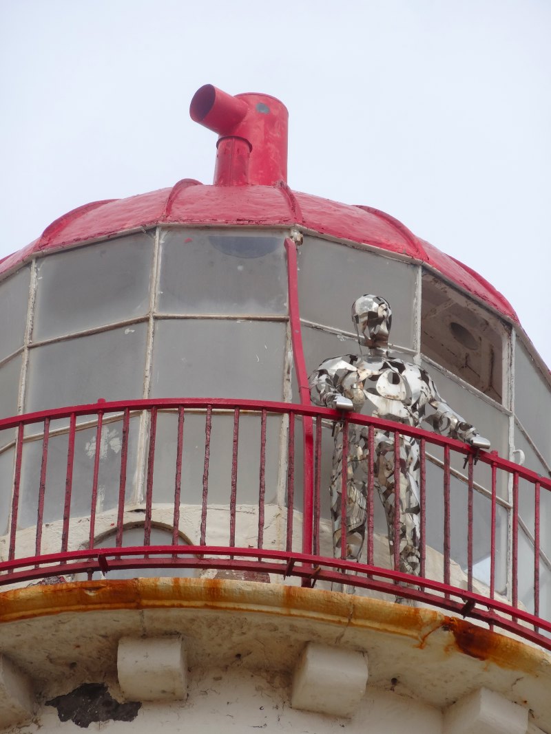 The lighthouse on the point lies on a caldera-like cone of concrete far out on the sands, there being no rocks to sea on which to place it. It lies slightly to the west of the current Point of Ayr, I assume where the land has shifted over the years. As I draw closer across the sand I realise that there is a figure looking out from near the light high on the tower, an iron man, C3PO, Cyberman, watching out to the east, or maybe towards the English.
I follow the path along the top of the beach, below the dunes of the nature reserve where endangered natterjack toads have been reintroduced, their breeding ponds protected by fences. ‘Endangered Predator’, the signs say, and I wonder about Arnold Schwarzenegger and whether he considered the environmental loss as he slaughtered a unique species.
Shortly after passing Presthaven Sands Holiday Park, which merits its own special bus stop, there is a sign announcing "Croeso, Welcome", to "The resort town of Prestatyn", although clearly the administrative edge of Prestatyn, the town itself still far distant, the cliffs above, where I had walked three days ago, now beginning to loom and around the sea edge of the dunes, a red-roofed building occasionally appearing. The path through the dunes here is unclear at times, and I was trying to follow it rather than erode other parts of the sensitive environment, but eventually decided that if it were a problem they would sign more often, so just took a combination of the slightly more difficult (soft sand) path right by the sea edge, where waves broke against stone sea defences (the dunes would clearly like to move eastward towards the Point of Ayr), and easier trodden grass between the dunes. I saw no toads, but I think this area was pond-less and they are largely nocturnal.
Finally, the dunes and the once distant red-bricked building mark the east end of the long Prestatyn promenade, which runs onwards into Rhyl and Abergele. The building is a hotel, and I see a man pulling a wheelie suitcase and a sour-faced woman realising that the seafront hotel they had chosen is in fact a good mile from the centre of the town.
 A man sits fishing, an image of patience, and I chat to a gentleman about cameras, walking and, after I mention that I am collecting partly for Tenovus, cancer. He and his wife had lost two members of their family in the last year. Without rancour or self-pity he described weeks spent at the hospital waiting for the end, the simple courage of everyday people.
[completed April 2014]
After about half a mile of prom I get to the end of Offa’s Dyke Path where I had been just a few evenings before. I take some more photographs with the better light, but no selfies this time. It was after two and Anwen‘s breakfast had begun to bed down, so I went into ‘Offa’s Restaurant‘, which seems appropriate.
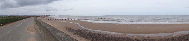
Between Prestatyn and Rhyl the prom just continues.
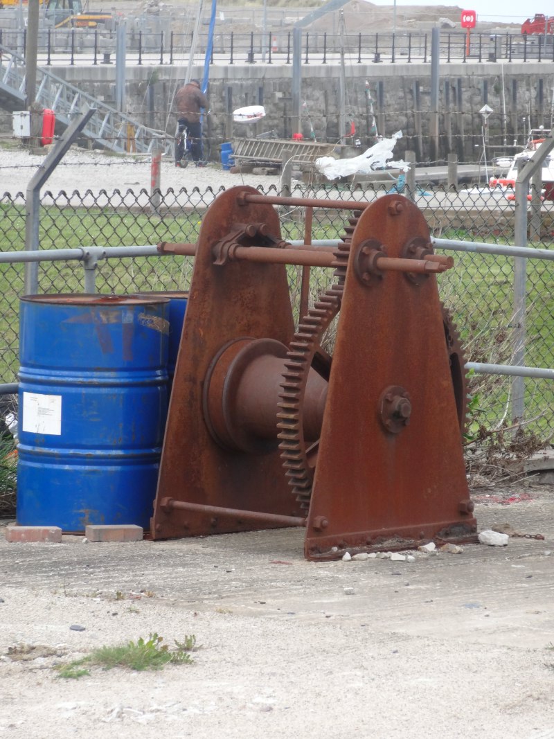
One of the floating cranes I had seen yesterday passes out at sea, looking rather like a powered oil rig, sections of wind turbines are stacked vertically ready to be lifted into place.
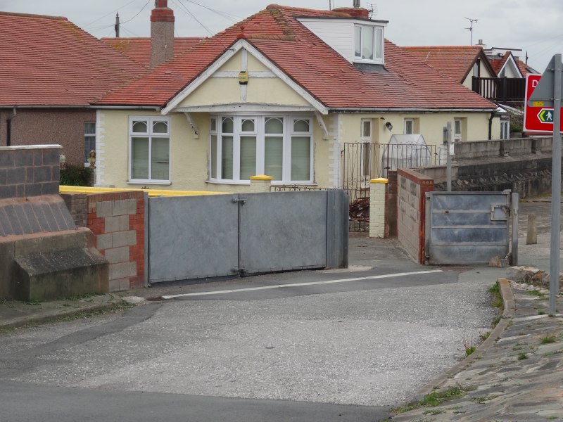
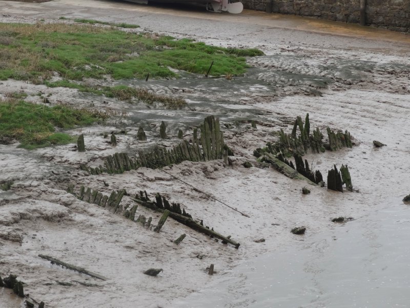
On the shore, on the outskirts of Rhyl, there is an estate of those pitch-roofed pre-fabricated constructions that are midway between static caravan and bungalow. There is a four-foot wall to the same side and, where the tarmac prom path turns into the estate, huge metal gates to keep the sea water at bay. Nearby there is a sign entitled ‘Coedwig Dan Y More” (the wood beneath the sea), about a drowned forest in the sea here.

The encroaching elements are not a new phenomenon, albeit accelerated by climate change. The lost land, the hoses struggling to protect themselves now, and the new turbines that will soon surround the coast, all linked.
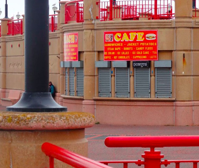
I pass lidos and funfair rides, kiosks and cafés, but it is mid-May, well out of season for Rhyl, and everything is closed.
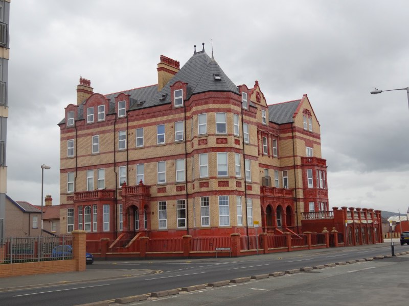
Set back from the seafront are the lines of small hotels, B&Bs and apartments, many of which will be where the Liverpool cast-outs have been placed. In the wide open I do not feel ill at ease, despite the warning I had been given, but I assume it is a few streets back, in the residential part of the town, where the streets are less safe.
However, Rhyl is trying to regenerate; at the far west end of town is the harbour and there is construction underway for a new marina and waterside apartments. Gentrification even for Rhyl. Right next to the sign showing the new apartments under construction is one announcing the West Rhyl Coastal Defence Scheme. According to the web site it is not just the estate to the east which is at risk, but later parts of Rhyl are below high tide level and depend on ageing sea defences. I’m not sure if this would give me confidence to buy a harbour view here.

The works on the harbour mean there is a small detour of the path, but soon I am back on, not really prom, but a concrete coastal path, with a substantial wall to stop the sea from flooding it. The tide is out and there is a wide sandy beach, so I walk along that for while, not entirely unconnected to a group of youths on the path and the warnings still at the back of my head.
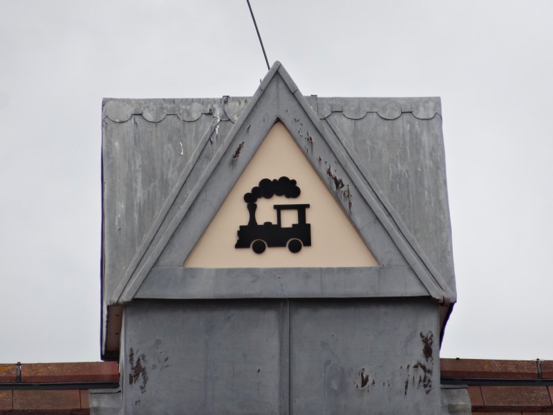
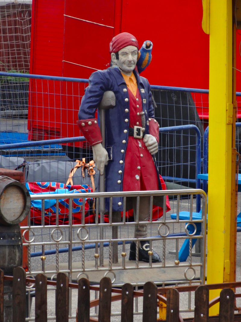
Coming into Abergele the first sight is acres of static caravans, all clearly below sea level. Through the fence at the edge of the site I see a tiny children’s fun fair, dragon and pirate silent in the evening air.

Although the map shows the path continuing along the seashore, the guide arrows send me crossing the railway line and across through the caravan site, so I enter Abergele along the main road. It is clearly run down as some seaside areas are, but with a different air. It was evidently never a big funfairs and B&Bs holiday resort, and caravan sites have stood the test of time better than seaside guest houses.
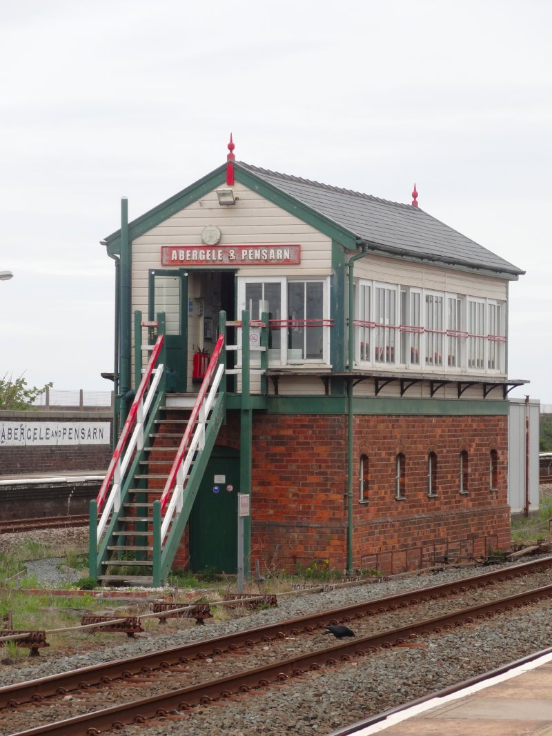
I arrive at the station ‘Abergele and Pensarn‘ just in time for the 18:05; if I had missed it there would have been an hour and half to wait and I would have been forced to have a pint or two in the local pub, which would have been tough.