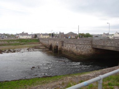
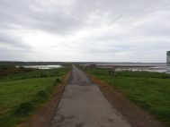
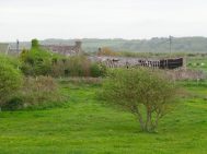
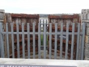
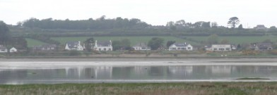
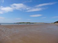
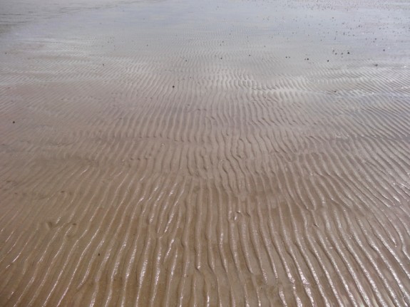
I left the Rhosneigr campsite and drove to Malltraeth. I’d hoped to get some breakfast there, but couldn’t find anything open so made do with what I had and set off. The path crosses Afon Cefni on a stone bridge and then progresses along a causeway above the wide estuary mud and sand. In the distant past this once cut nearly all the way across Anglesey, almost a second straits, but filled with silt and now is merely the mud choked estuary of Malltraeth Sands.
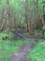
On the far side of the estuary is Newborough Forest, an area of mainly coniferous managed woods several miles in each direction. For about two miles the path follows that of the Lôn Las Cefni cycle trail through the edge of the woods near the estuary side, but often out of sight of the water through the thick trees. However, then the path has two routes marked on the map. The main path leads along the long sandy dune-backed Traeth Penrhos, while the alternate path cuts through the woods never touching the sea before it heads back inland. I assume the latter is for times of storm tides. But I intend to take the former path as these long beach sections were one of the things I was looking forward to during the walk.
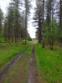
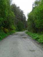
The walk through the woods was pleasant and quick along the well-made cycle path. After some time I saw that the path divided ahead. The right smaller path led towards the water and the larger path towards the sea. At first I thought that this was where the Coast Path diverged, but when I got there, there was only a Coast Path symbol on the left fork. As this is a major leisure destination, the marking had been clear so far, so the separation of the Coast Path must come later. Still, I almost took the rightward path as it led closer to the water, but I assumed it would simply lead to impassable mud flats, and also wanted to take the ‘proper’ path.
So I followed the leftward fork on through the forests. For some time I kept thinking that I soon would come to the proper fork in the path until I realised it was never coming; the fork I had been at had been the right one all along and had simply not been marked.
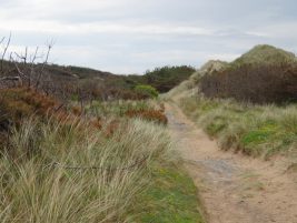
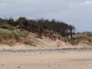
The woods to the right were thick and it wasn’t clear whether I could simply cut through them, so I kept on going, assuming that sooner or later there would be some sort of path to the right, but after what felt like many miles, but in reality only a little over one mile, I saw a small track leading off into the woods, and after only a few hundred yards came to a line of sand dune. The one good reason I could think of for not marking the seaward path was that it could be tidal, but all along between the dunes and the trees was an easy way to go should the sea be high.
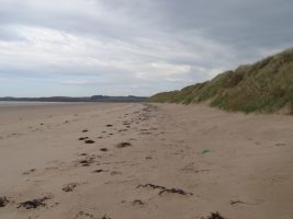
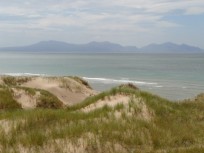
I crossed over the dune and at last came to the sea, but looking back had missed almost all the beach, with just another hundred yards or so to the end. I screamed curses upon the Wales Coast Path for its inconsistent and incoherent signage. It had been a patch of beach I had been looking forward to and felt cheated.
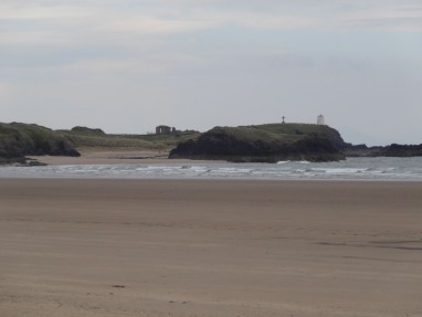
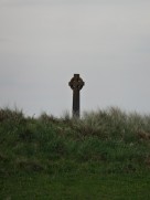
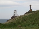
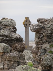
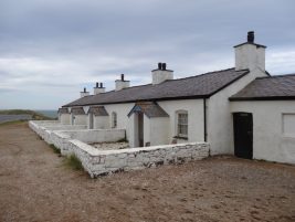
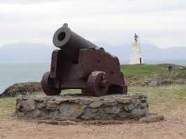
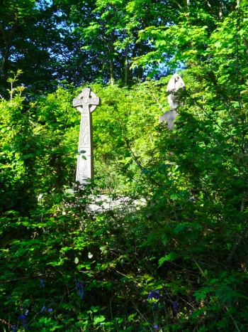
By now the weather’s early moodiness had begun to break, with sunshine creeping in across the sea, even though my own mood had travelled an opposite arc. However, my own mood was lifted by spending time walking onto the tip of Ynys Llanddwyn, a tidal island with ruined church, standing cross, and a stubby white lighthouse complete with iron cannon (I think simply to make a noise to warn off ships) and tiny terrace of white and black lighthouse keepers’ cottages. This is the church of Saint Dwynwen, the Welsh version of Saint Valentine.
The story is that she was in love but, for some reason, was unable to marry the man of her heart, so instead fled to the church and a life of chastity. I don’t quite get why this story led future generations of lovers to the holy well on the island for blessing, it doesn’t feel that portentous, but that is the story.
I lingered amongst the old stones and sun-drenched rocks for some time, and whether it was the presence of Dwynwen still suffused amongst the ruins, or simply the effect of sea breeze and sunshine, but my annoyance at the Wales Coast Path faded and I felt a sense of calm return. It was with regret I did not stay longer, but eventually I had to press on.
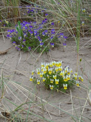
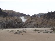
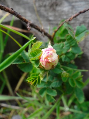
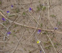
Coming off the island a signboard explains the pillow lava found in the area, and in the nooks around a line of wooden steps down the sandy slope tiny miniature roses bloom – maybe the roses understand Dwynwen‘s story better than I.
By now the sunshine was strong and hot off the sand of Newborough Beach. Families were gathered, territory marked by towels spread on the sand and the occasional windbreak. The access to this side of the beach is via a footpath along the south eastern fringe of Newborough Forest, or by bumpy car along a forest road. Rosie had warned me that this path had been very muddy in places when she had walked it a day or so before, and I had had enough of forest tracks, so decided to walk further along the beach and try to skirt around the end of ‘The Warren‘, an area of dunes over a mile square leading down to a long spit guarding the western end of the Menai Straits.
I guessed that the path was avoiding the nature reserve, but there were paths marked across it on the map, and no sign to say not to enter, so I set off along the long dune-backed beach. I knew it was important not to walk too far before cutting back across the dune, about a mile, as I didn’t want to walk right to the end of the spit. This would have been pleasant to do, but would also have added several miles to the path and I didn’t want to get to Menai Bridge too late, as Rosie, who was also staying at Menai Bridge that night, had offered to drive me to pick up my van from Malltraeth.
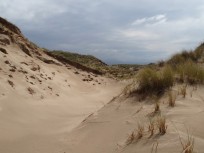
The dunes behind the beach got higher and higher, and after what felt like well over a mile I climbed to the top, thinking I might see sea the other side, but all I could see were more dunes. I tried walking along the dune ridge for a while, but it was hard going through the marram grass, and I couldn’t get enough height to see how close I was to the sea on the other side. In the end I decided to cut inland to get onto a higher dune top. The spit is several hundred yards wide, so it was quite possible that I simply could not see across.
In fact, as I later realised, I was well short of the spit at the end and simply walking into the heart of The Warren.
From the high dune I could see no better and so started cutting across the dune land going nearly due east in the hope that this would get me to the sea the far side, whether I was crossing the bar or simply near it.
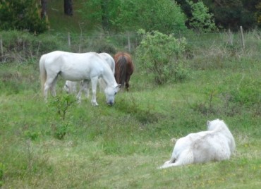
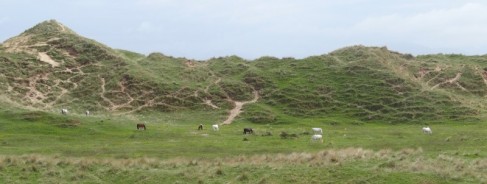
It is surprisingly hard work walking across this sort of land, especially when the marram grass gave way to brambles, and I began to wonder if I had done the right thing cutting across this terrain when I came over the top of yet another dune top and saw in front, not the sea, but a small grassy plain, with horses running free.
A fence kept the horses from the seaward sand, so I skirted this to the south, hoping that I would find a pathway, and then crossed over another fence at a corner post. I decided that I would not easily reach the sea, but on the map two footpaths led from the sea on the south-east side of The Warren to Pen Lon on the north corner. If I set off due north I was bound to cross them.
Happily the ground was easier, flatter with many horse tracks, but also slightly boggy sections to avoid. I was glad of the compass as it would be hard to keep in a straight line – how many past wanderers were still walking forever in circles?
I seemed to have been walking far too far again (but probably hadn’t) and there was no sign of sea or footpath. However, I realised that a public footpath on the map was merely a public right of way, and did not in any way mean there was a track on the ground, so I started to veer closer to due north, or even a little east of north so that I would find myself close to Pen Lon whether or not I found one of the paths.
Still there was no sign until I suddenly spotted a group of people, several dunes away. I hurried towards them and eventually came to them near the top of another dune.
They were a guided group with a Ranger at their lead. He showed me a post where they were and on another dune another post. These otherwise unmarked posts, which I would have taken as simply stray fence posts, were the marker of the route of the footpath.
I had obviously found myself much of the way back as, following the posts, I quickly found myself at the main metalled pathway that led beside the woodland towards the car park at Pen Lon.
It was strange finding myself amongst many people making their way to and from the beach after an hour or so alone with only horses for company.
Pen Lon itself is simply a scattering of houses along the road, although there are signs to a model village. There is also a very full café, the White Lodge Café, attached to a campsite. I took a look and while it looked good for a full lunch it was a little more expensive for a quick sandwich, so I kept on.
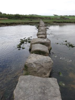
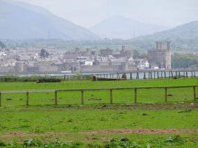
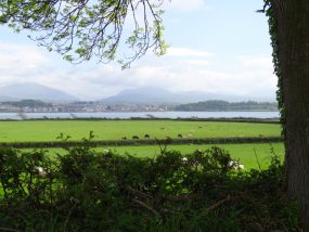
The rest of the way from Pen Lon to Menai Bridge is relatively uneventful. The Coast Path cuts inland across the southern corner of Anglesey. The first part of this goes along a small road and ends at some stepping stones over the Afon Braint. The ‘stones’ are large concrete slabs, sometimes a small step across, sometimes a bit of a hop … I think a toddler would need a little help. It then zig-zags across fields and sometimes along small lanes. Towards the end I recall walking parallel to the Menai Straits, looking down across fields towards the water, but struggling slightly to work out which path to take down, however eventually finding myself by the waterside and for a mile or so walking along the shingle beside the Menai Straits.
At one point the path cuts again slightly inland running a few hundred yards inland parallel to the Straits. Although I was on the lookout for this point, somehow I missed it, and only as the way across the shingle became more difficult I realised I’d missed it. By this time the banks were high leading up to private ground, so it was impossible to find an alternative way, so my choice was to go back or press on.
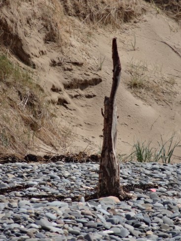
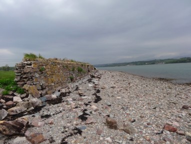
Now, when I say ‘shingle’ I should explain that this means fist-sized stones that are sharp edged as if they had just been quarried. I assume this is because the Straits are relatively protected from sea storms, and here, where it is wide, the tidal surge is not so strong, so the stones are not tumbled and smoothed. I was wearing sandals and walking on the sharp stones became more and more painful. In fact I must have bruised the bone of one of my toes during this time as it was painful for weeks after.
After what seemed like an interminable time, the line of shingle between bank and water started to narrow, until it was clear I would soon be unable to proceed. I had another choice, go back a mile over the sharp stones or climb the walled bank. I managed to clamber up and found myself in parkland, presumably the grounds of Plas Trefarth. The Coast Path clearly goes through these parklands, but slightly further up the hill. I found a path, which I think was the right one, and followed it and certainly eventually came out where the path was supposed to by the church at Llanidan.
There is a choice here, an inland route, perhaps for times of very high tide, and a route along the waterside. As I always do I took the waterside route … yet more shingle walking, but happily now rounded stones, which were still slightly painful given my bruised feet, but so much better, then after just half a mile by the water, back inland, mainly along small roads, crossing the main road at the tiny hamlet of Plas Cefn Mawr, then taking a detour past a chambered cairn at Bryncelli Ddu. This detour adds a mile or so to the path, and I think is there to avoid walking along the busy main roads rather than for the historic visit.
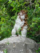
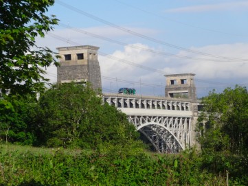
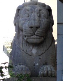
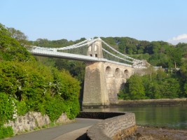
When the path does rejoin the main road there is a footpath alongside, sometimes separated by a small fence, until, on the approach to Menai Bridge, the path does cut back towards the water again for the small waterside walk underneath the Menai Bridge with its giant lion supports.
Finally I got to the hotel in Menai Bridge and found Rosie waiting at the bar. While she drove me to pick up the campervan and then later over a kebab on a bench, she told me all about the local politics of Menai Bridge, the scandals and affairs, and about the landlord of one of the pubs who was taking part in Walk on Wales later in the year … all picked up from a few hours chatting to locals.

