The day started slowly, I woke at 5:20 to the sound of a cockerel, and spent several hours writing before going down for breakfast. During a very leisurely breakfast I chatted for over two hours to John and Mary.
 Both had been to ‘dame schools’, which I associate more with the time of Jane Austen, but in this area were small private schools, run principally by the wives of schoolteachers, catering, it appears, for those seeking a slightly better education than the state primary schools, the children of doctors, prosperous farmers, etc. The covered topics seemed to vary with the interests of the proprietor. John‘s first school focused strongly on arithmetic, ignoring writing and spelling, but this then utterly reversed when he later joined the same school as Mary, where language and drama were the heart of the curriculum, with amateur dramatics a high point of the year.
As we talked I recalled the book: ‘School without Tears‘ by Mollie Jenkins, the wife of David Jenkins the (in)famous ‘Bishop of Durham‘ of the early 1980s, for whose ‘blasphemy’ (doubting the virgin birth) some blamed the lightning strike on York Minster, which destroyed the Rose Window. In 1984, Mollie Jenkins ran a small private school in Durham where her philosophy was very much about letting children grow as children.
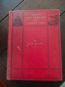
The most fascinating point in the morning was when John brought out an old book1:
From John O’Groats to Lands End
Or 1372 Miles on Foot
A Book of Days and Chronicle of Adventures BY Two Pedestrians on Foot
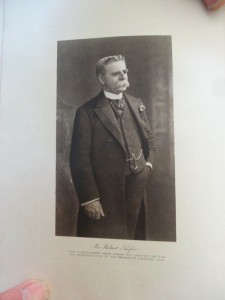
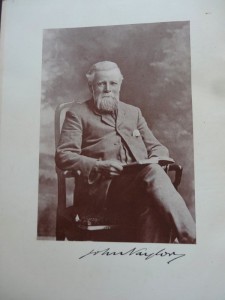
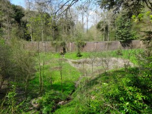
The local landowner in the late Victorian era, John Naylor, instituted many modernisations on the estate, including a gas works and a failed dam, which I would see later in the day. Not content with this, John and his brother Robert took what must have been one of the earliest north–south walks. The book, a limited edition with just one thousand copies printed by the Caxton Press in 1916, tells how, in 1871, they walked from John O’Groats to Land’s End, criss-crossing the country from east to west as they visited interesting places, and without any maps, which were too heavy at the time, instead relying on their general knowledge and people they asked on the way.
They travelled light, having fresh clothing sent on from the estate to local rail stations along the way and sending dirty washing back the same way, and followed a set of rules: no wheeled transport, no animal transport, no water transport, and no alcohol. So far I have managed three of those.
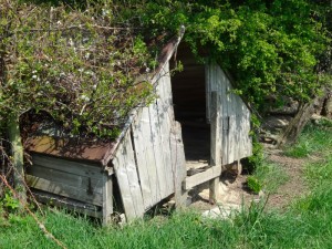
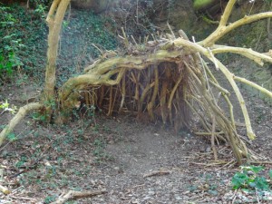
The Offa’s Dyke Path passes the back of Heath Cottage and I pick it up as it passes behind gardens on its way from the village. For a while it follows the lane up the hill that lies between Forden and Buttington. I pass one tree that at first looks as if a small wall has been built among its roots, until I realise it is the naturally fissured rock; and then further on real signs of construction, where a small tree that bends naturally over in a depression in the bank of the lane-side has been filled in with a basket-like weave of smaller and larger sticks, making a bivouac shelter. Maybe it is a traveller like Jacob from the previous day who did not find a place to sleep, so made one here on the roadside.
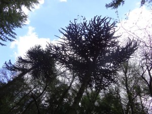
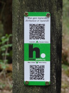
Later the path cuts through forestry tracks and I almost miss that above my head is another monkey puzzle tree, indeed a whole line of them follow along the track side. John had told me that there were specimen trees in the wood, but I had forgotten. More signs of Naylor‘s modernisations. Later I pass the site of the dry dam, impressive if ineffectual, and then further on again, one of those small QR coded plaques announcing that this was the ‘Birthplace of Leylandii‘. These fast-growing ‘hedging’ trees were beloved plants in the late seventies, growing several feet a year, wonderful to make a quick screen between neighbours, but before long turning your garden into a forest clearing.
I recall in our house in Tang Hall in York, a narrow 100-foot garden with Leylandii all round, the annual job of lopping them off with a bush saw perched perilously on a ladder leaning on their swaying trunks; piles upon piles of six foot tree tops. One year we could not afford a Christmas tree, so a Leylandii top sat in the corner of our living room with its late 1970s stone fire surround and polyurethane mahogany varnished plywood television nook in the alcove. We had no television, but the Leylandii seemed a fitting replacement.
[this section written April 2014]
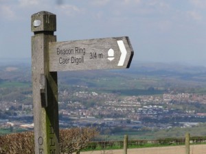
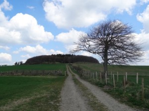
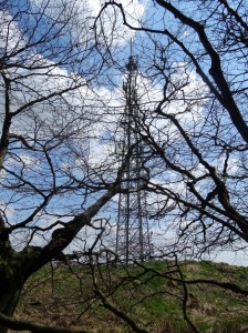
The path crosses a small road that leads down to Welshpool, stretched below, but the path onwards leads once more along forest tracks until it mounts the ridge towards the top of the hill, Beacon Ring. The ‘Ring’ is because the hill is topped with an Iron Age fort, although the first sight is a large mobile phone mast, I guess the modern equivalent of the beacon. However, I note that my photo of it was carefully posed so that a tree masks the mast.
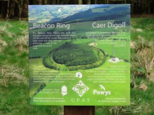
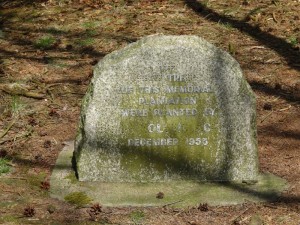
The ring is filled with a small wood, which is evidently causing some controversy. It was planted in 1953 for the Queen’s Coronation, and the combination of pine and beech spell out ‘E II R‘ from the air. In 2008 the Clwyd-Powys Archaeological Trust acquired it and are planning to improve the site, including removing the trees, which both hide the shape of the site and also, I assume, cause potential archaeological damage with their roots. However, not everyone is in favour!
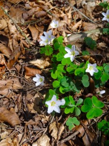
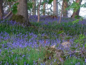
The wood within is quite a magical place, with wild flowers and a welcome shade from the hot sun. Someone has left a contraption of bright orange twine and pieces of wood that seems somewhere between man-trap and monkey swing and a small stone, like a gravestone, commemorates the planting. Both ancient fortifications and copses are often seen as the haunt of fairies, and maybe because of this I find myself losing sense of direction, with the trees and bank ring apparently uniform in all directions. I half feel that, like Oisín or Rip van Winkle, I may get lost in time and emerge years later to a world… well who knows… I take the shortest route out.
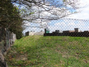
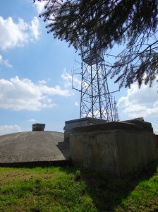
Certainly the Iron Age awakener would have been bemused to look up at the mobile phone mast, but I was equally bemused as I skirted the rest of the ring fort from the outside and came to a separate, smaller signal tower but with a low concrete dome beside. The shape of the roof looked as though it was larger below ground than above. The fairy folk often inhabit hollow hills, but my guess is this was for no fairy folk, but instead a cold war bunker and signal station, the same site built for fortification 2500 years before with similar purpose today. Maybe our Rip van Winkle would find less changed in human nature than in human construction.
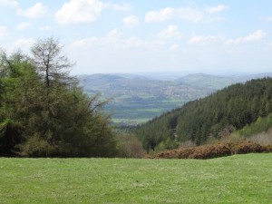
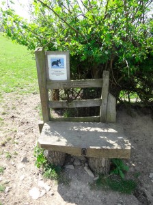
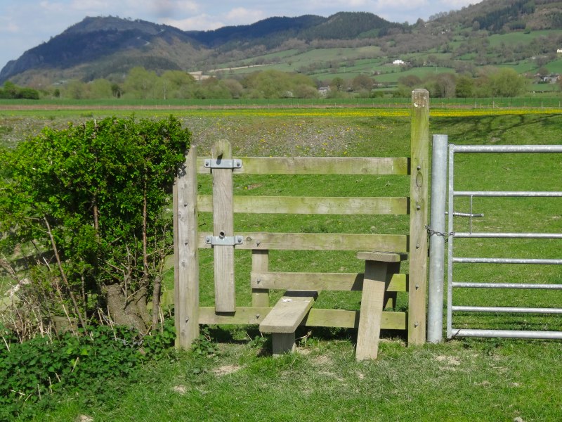
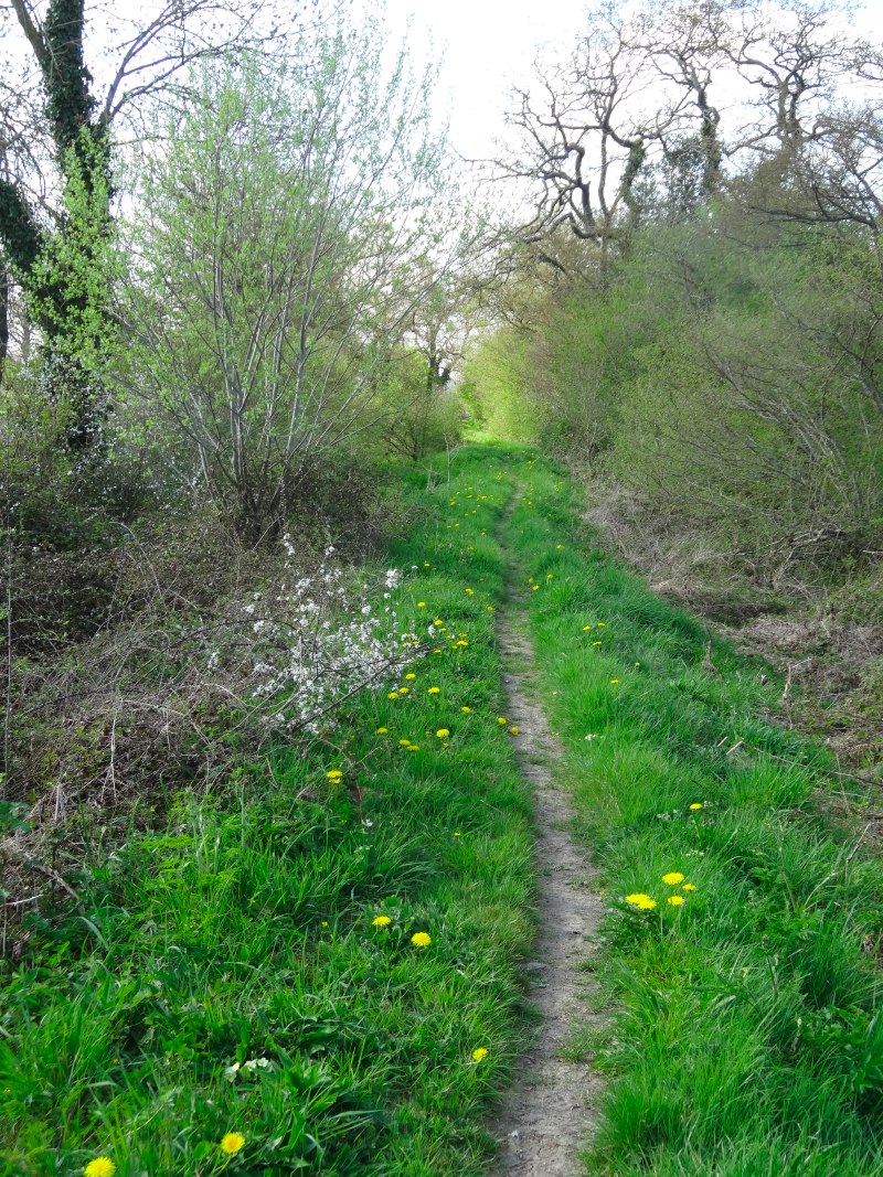
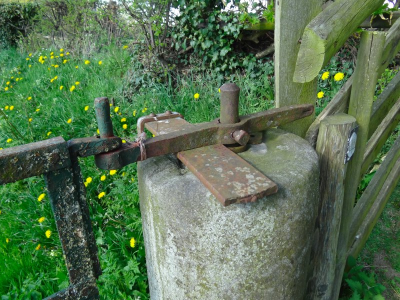
The path leads down a grassy hill, Welshpool and the Severn plain opening ahead. A small stile-shaped seat has the words:
There was a crooked man
who walked a crooked mile
he found a crooked sixpence
upon a crooked stile.
And a notice on it with a photograph of a collie dog:
If you see this dog on the path please be very firm and tell her to "Get Off Home". She is very friendly and if allowed will follow you all the way to Forden or Buttington. Thank You.
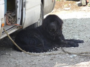
I never saw the collie, so could never test how sternly I could say "Get Off Home", but at a small farm a different dog, I think a Newfoundland, sits in the shade of a car, its thick fur not well suited for the intense heat of the day. Beyond that onto small lanes and the road into Buttington to get a very welcome sandwich and beer at the Green Dragon.
At one point I had thought of staying the night at Buttington as it seemed ‘not far’, but, although it is only four miles straight down the B-road, the route over the hill is six curly miles and about an 800 foot climb – it would have been a very late night. However, today, not starting until half past eleven, I had 14 miles still ahead of me and it was already after 2pm. I had a relaxing, but quick lunch and set off again.
At the end of the 10th century, the Anglo-Saxons and Welsh were on the same side, fighting the Vikings. The Battle of Buttington in 893 AD temporarily halted the Vikings, but only for them to return in later years in greater numbers.
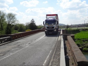
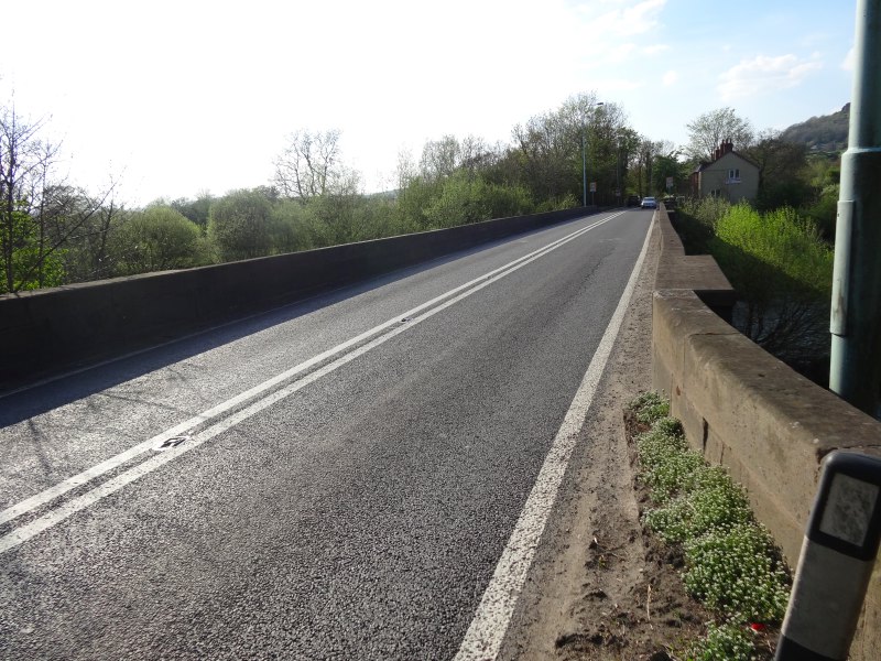
Today the only battle at Buttington is to cross the bridge over the Severn, which has no footpath, but carries the busy A458 as well as the Offa’s Dyke Path. The crossing merits a rare warning symbol on the map. The bridge is short and I can see some way in each direction, so I try to time my crossing to minimise traffic, but still one is squashed to the side as large trucks pass. The worst are caravans, the owners give you a reasonable berth with their cars, but fail to account for the fact that the caravan sticks out several more inches behind.
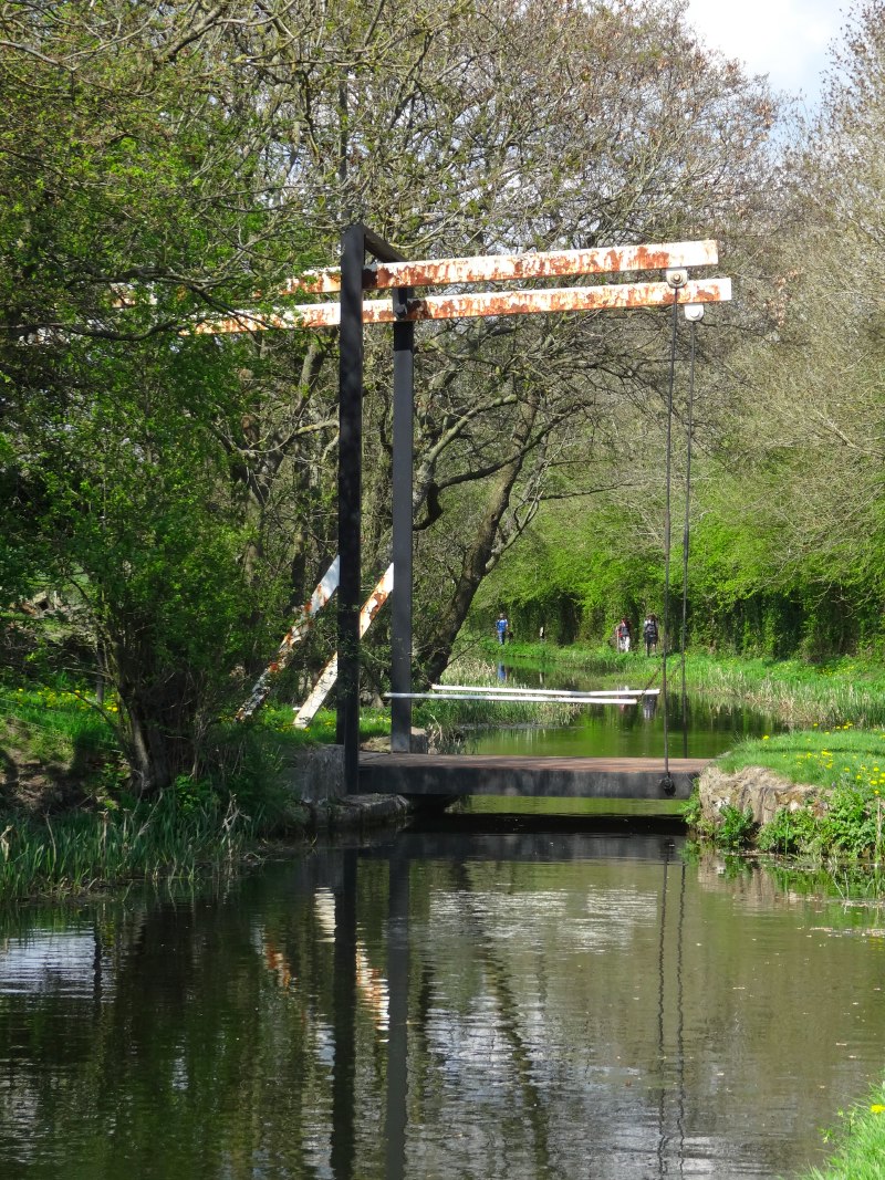
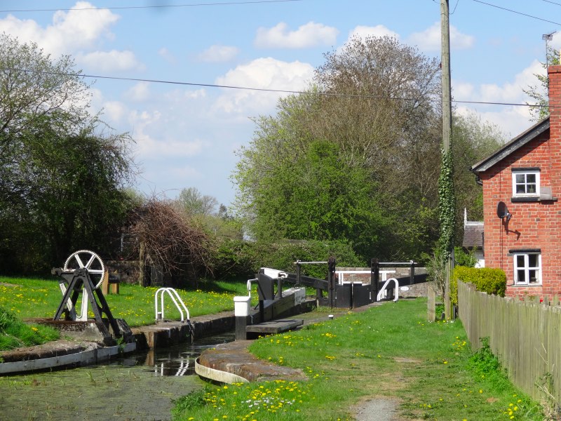
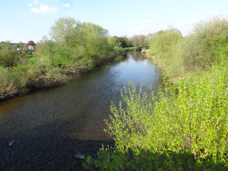
There follows a mile across riverside fields and then a very pleasant mile along the tow path of the Shropshire Union Canal. I am a little worried whether it will be obvious where to rejoin and cross the road, but Pool Quay is very clear on the ground as well as on the map, so I leave the ducks, locks, wildflowers and shade (the latter sadly missed) and cross the A483 to follow the side of the Severn for the next three or four miles.
After having spoken to the chair of the committee looking at community buy out fishing rights at Hay-on-Wye, I have been more aware of signs about fishing. net that a stretch of the canal had a sign saying it is for Montgomery Fishing Club, which is close at hand, but I was a little more surprised to see a sign on the Severn saying:
Birmingham Anglers Association
Members Only – Private Fishing
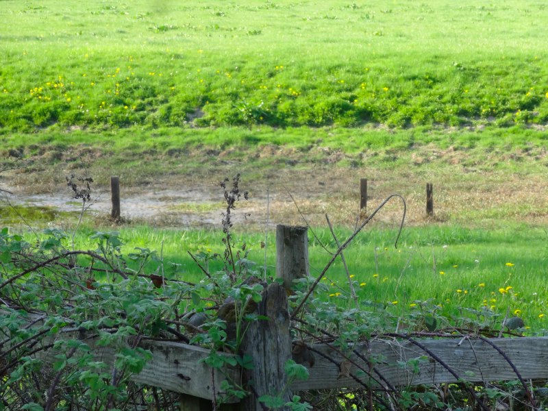
For some of the way the path hugs the river bank closely, but sometimes cuts off the bends following along a bank, not Offa’s Dyke, but flood banks. I assume there will have been no need for the Dyke along the section as the river forms the natural boundary.
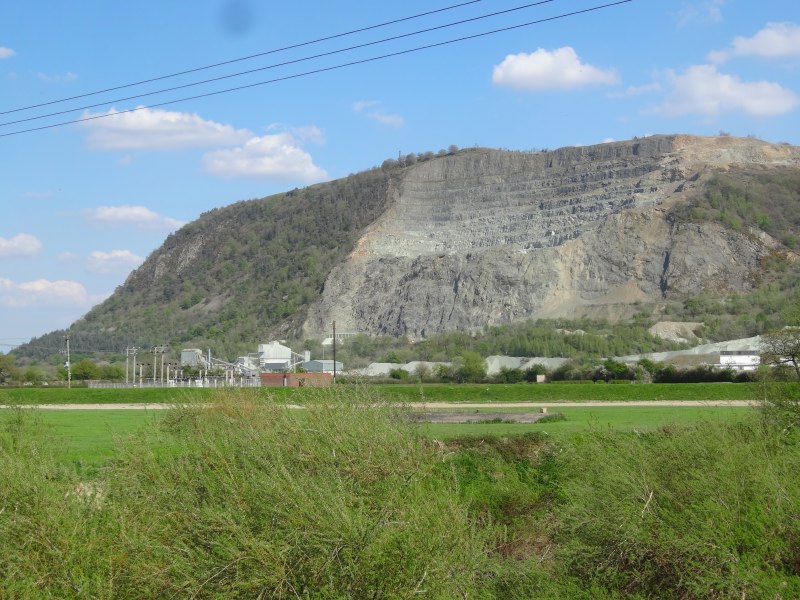
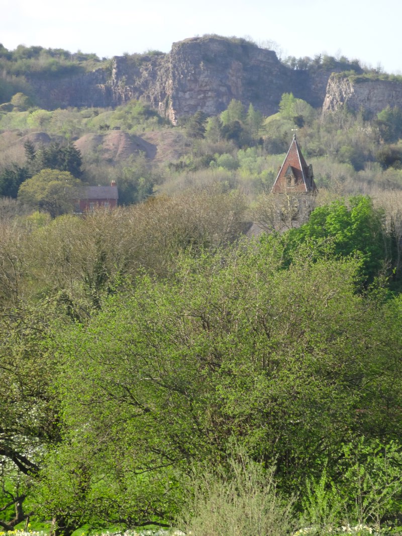
The section was flat and I walked it quite quickly, only about an hour and ten minutes in total, but it did feel rather interminable as I was aware that I was running very late again. To the east, quarries cut into the flank of the ‘Long Mountain‘ (not to be confused with Long Mynd further east), and at one point I thought I was nearly at the end as there was a large house coming up on the opposite side of the river, which I knew would be at the next turning point, but in fact it was another house only half-way along.
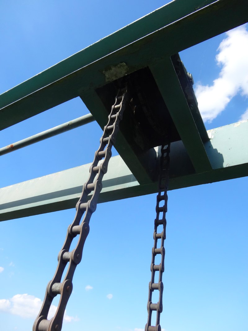
However, eventually I came to the point where the ‘New Cut‘, a large drainage channel, meets the Severn near a giant sluice gate. The gate stands dry, well away from the river, but I assume is there to open should the Severn be high and it is decided to flood the farmland to save towns downstream.
From here it is just another couple of miles into Four Crosses. Four major roads and several minor roads converge here, the large roads crossing each other like hands crossing to make a fireman’s chair, creating a triangle of roads around the village centre. This picture is made more complex now as a by-pass has been built to the west of the village taking the heavy A483 trunk road. Unfortunately this was not marked on my map. The path on the map followed the A483 for a short time before turning down a lane westwards towards the Montgomery Canal. What was unclear on the ground was whether this turning was before or after the bypass rejoined the old road.
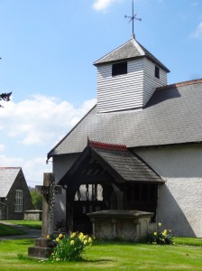
There was a small pedestrian underpass just before the joining point and I wondered if that might be the way, but there was no signage, and in general Offa’s Dyke Path is very well signed, so I decided it must be further on. There was a group of houses and a church just across the road, so I braved the traffic, and looked to see if the path left there, but nothing. I tried to get any of my electronic gear to tell me exactly where I was, but to no avail as nothing could find sufficient signal – so much for technology!
In the end I went on along the road hoping to find the turn-off, but eventually realised it must have been through the underpass, the road construction was just too recent and the way had not been re-marked. By this time I was a fair way down the A483 towards Llanymynech, so decided to press on and miss the loop along the canalside, which would have been a far more pleasant way, but would have involved a significant backtrack.
The road has a wide grass verge, but the grass was quite long, so I would walk on the road itself, and then jump up onto the verge when cars or lorries came. It was fast, which was valuable given how late it was, but not at all the most pleasant walk.
[back to 2013 writing]
Coming into Llanymynech along the main road you find an old and lovely bridge across the River Vyrnwy. However, appreciation of its beauty and the peaceful flow of the river is somewhat marred by the imminent danger to life and limb as, like the earlier bridge over the Severn at Buttington, one crosses its short length clinging closely to the stone balustrade while an endless stream of lorries skim inches away. The bridge is narrow, so there is not only no room for a walkway, but the cars have little leeway to give you berth.
As I get across I see a large banner:
15,000 Vehicles Daily
WE NEED A BYPASS
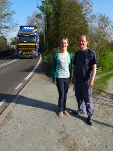
The house owner and his daughter were just coming out and watching tentatively up and down the road ready to cross, and when I said I’d just photographed the sign he and his daughter, who had already successfully managed the traverse and so had to make their way back across, told me the whole story.
Some years ago the road has been re-designated as a trunk road. Ever since various locals have been trying to get the council, not only to build a bypass, like that of the neighbouring Four Crosses, but at least to provide a footpath. Given the costs of road construction, it seemed such a slight extra, and at one stage a neighbour, the far side of the river, appeared to have almost won the argument with the planning official … at which point the official was moved to a post elsewhere, and so the discussion started all over again with a new official. The current footpath ends about thirty yards away from the bridge, so the man and the daughter described, with feeling, how getting to school each day required walking that thirty yards squashed into the scrubby hedgerow, on a blind corner.
Compared to the cost of the road, a footpath seems minor, but I guess if the council built a footpath, they might then have little alternative but to also build a footbridge, which I can see would be more expensive, though surely not prohibitive.
The house is itself set on marginal ground, what was once a small island, the current river course forming one side, and a now dry channel the other. The river formed the main boundary between Wales and England, and the man pointed out a line of fence posts set in the old channel, which had marked the separation. The boundary then roughly follows the existing roadline, but zig-zagging across to take in a holy well. This house was in Wales, but the neighbours either side in England. In addition the postal address for the house has no street name, as the street from the south finished at the current bridge, the street out of Llanymynech ended at the north side of the old channel, and the road across the island had no street name, an in-between place, a place where, maybe, all rules end … and certainly where the footpath ends.
As we make our way back across the road, so that they can continue their way to visit the next door neighbour (now there’s neighbourliness, a life-risking 40-yard journey), they tell me about a festival of music and storytelling in August. In particular how this will celebrate the mixed-up interchanges of a village caught between countries and counties, where the border, zipper-like, sees next-door properties fall one side or another. A place where, I later learn, the Welsh vet, whose surgery was strictly in Shropshire, still insisted on all correspondence being addressed to ‘Llanymynech, WALES‘, even though post then took a day longer.
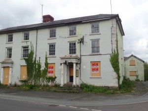
Saying my goodbyes, I pass up the road past the now closed hotel, where the border actually passes through the middle of the premises leaving one bar in Wales and one in England. In the days when there were different licensing laws in England and Wales, customers would periodically swap bars, all squashing into a single room when it got to closing time one side of the border, or on Sundays, when only one bar was open. I wonder whether there were any houses with a double bed, one side in England, one in Wales, where if you rolled over in the night you might find yourself waking in a different country from where you fell asleep the night before.
Llanymynech is the take-away Mecca of the area, two Indians, a Chinese, a lunchtime sandwich and teashop, and, literally opened in the last few weeks, a general kebab/burger/pizza takeaway. Knowing I will be late to eat when I get to Porth-y-Waen, I grab a kebab to eat on my last few miles across the quarry-torn hillside to the north.
The ascent begins on roadway that passes houses perched above the village, and eventually turns into woodland and cuts directly up the hillside following the path of the old gravity funicular. Now it is largely just earth and rough broken stone, but occasionally you see a larger age-smoothed rock, with the marks where old rails ran the height of the hill, laden trucks rolling down tugging their empty cousins back up to be filled in turn.
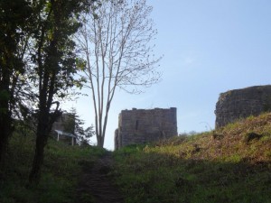
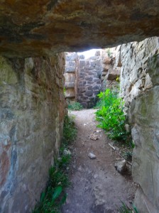
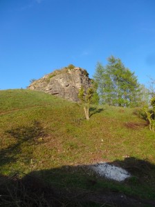
Breaking the brow of the hill it is as if a medieval castle guards the hilltop, two stone watchtowers rise, a narrow gateway between, and beyond them, a natural keep of blasted rock, its shattered top like battlements. In fact the stone watchtowers are the brake-house, where the cable held back the rock-filled trucks from careering, precipitously and briefly, onto the waiting workers below. Often a small boy would be responsible for pulling on the lever that regulated the downward speed. There must have been many such funiculars and I’m sure not an infrequent accident.
Now the crack of explosive, the grunts of workmen and the rumble of the descending trucks is replaced with the gentle rustle of wind-moved trees and occasional bird cries. The scene of Blake-esque industry, the lime-kiln chimneys, belching choking smoke below, is now a peaceful wooded heritage park, and the quarry itself a nature preservation site.
The final stages of the route to Porth-y-Waen pass yet another golf club (I am sure I will lose count of these once I hit the coast), and as I start my descent I meet members of the Border Outdoor Dabblers (BODs), who are out for an evening ramble.
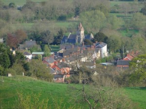
This part of Porth-y-Waen is almost all new build, the old village with church and pub about a mile further down the valley, and I have a moment’s doubt as to which road to take in the village, but then see Sue, my hostess for the night, beckoning as she and Andrew had seen me descending the ploughed field on the hillside opposite and were out to bring me in.
So, over a cup of tea in their conservatory overlooking the valley, we chat about Birmingham connections, how Andrew studied partly at the University and Sue‘s grandfather was an economics professor there, and how, further back, her family, the Martineaus, were cutlers and mayors of the city.
- See full transcript on Project Gutenberg.[back]

